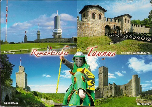
Saalburg, Upper Germanic Limes/Frontiers of the Roman Empire, Germany
The Limes Germanicus (Latin for Germanic frontier) was a remarkable line of frontier (limes) forts that bounded the ancient Roman provinces of Germania Inferior, Germania Superior and Raetia, and divided the Roman Empire and the unsubdued Germanic tribes, from the years 83 to 260. At its height, the limes stretched from the North Sea outlet of the Rhine to near Regensburg on the Danube.
The Limes Germanicus was divided into:
The Lower Germanic Limes, which extended from the North Sea at Katwijk in the Netherlands along the then main Lower Rhine branches (modern Oude Rijn, Leidse Rijn, Kromme Rijn, Nederrijn)
The Upper Germanic Limes started from the Rhine at Rheinbrohl (Neuwied (district)) across the Taunus mountains to the river Main (East of Hanau), then along the Main to Miltenberg, and from Osterburken (Neckar-Odenwald-Kreis) south to Lorch (Ostalbkreis) in a nearly perfect straight line of more than 70 km;
The proper Rhaetian Limes extended east from Lorch to Eining (close to Kelheim) on the Danube.
Roman border defences have become much better known through systematic excavations financed by Germany and through other research connected to them. In 2005, the remnants of the Upper Germanic & Rhaetian Limes were inscribed on the List of UNESCO World Heritage Sites as Frontiers of the Roman Empire. The Saalburg is a reconstructed fortification and museum of the Limes near Frankfurt.


0 comments:
Post a Comment